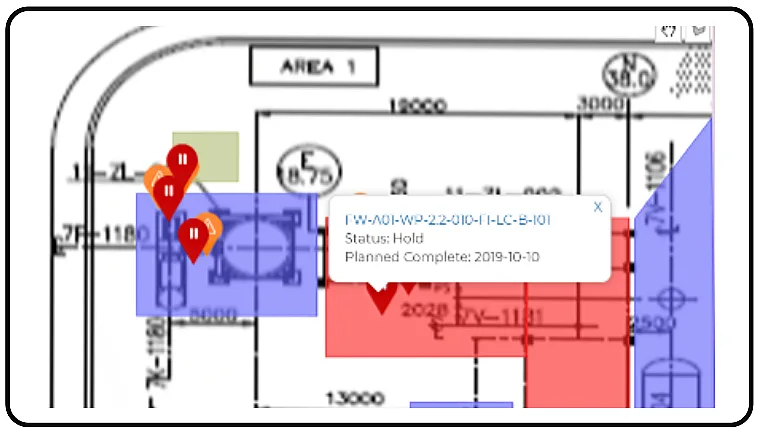
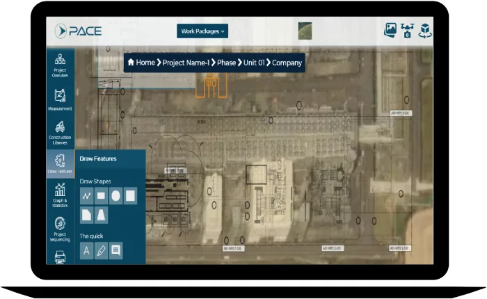
Geo Plot analysis provides geolocated visibility of pain points. It gives real-time updates of geo plot analysis service and site installation works in progress, hold or slowed down. A Geo plot analysis is also useful for studying and comprehending written text since it provides a shared framework. You may turn raw data into a geo map using geo-mapping. You can quickly grasp information that might normally take hours to search through and evaluate by viewing location data in this way.

Some of the features of Geo-Plot Analysis are:
- Drill down capability to understand the source of the problem of geo plot analysis
- Visualize the path of construction for understanding the daily work plans on geo analysis
- The exposition, often known as the introduction, provides background information about the key characters, defines the backdrop, and identifies the problem related to Geo plot analysis
- The tension or suspense increases in the escalating action, and the problem grows more intricate on Geo plot analysis
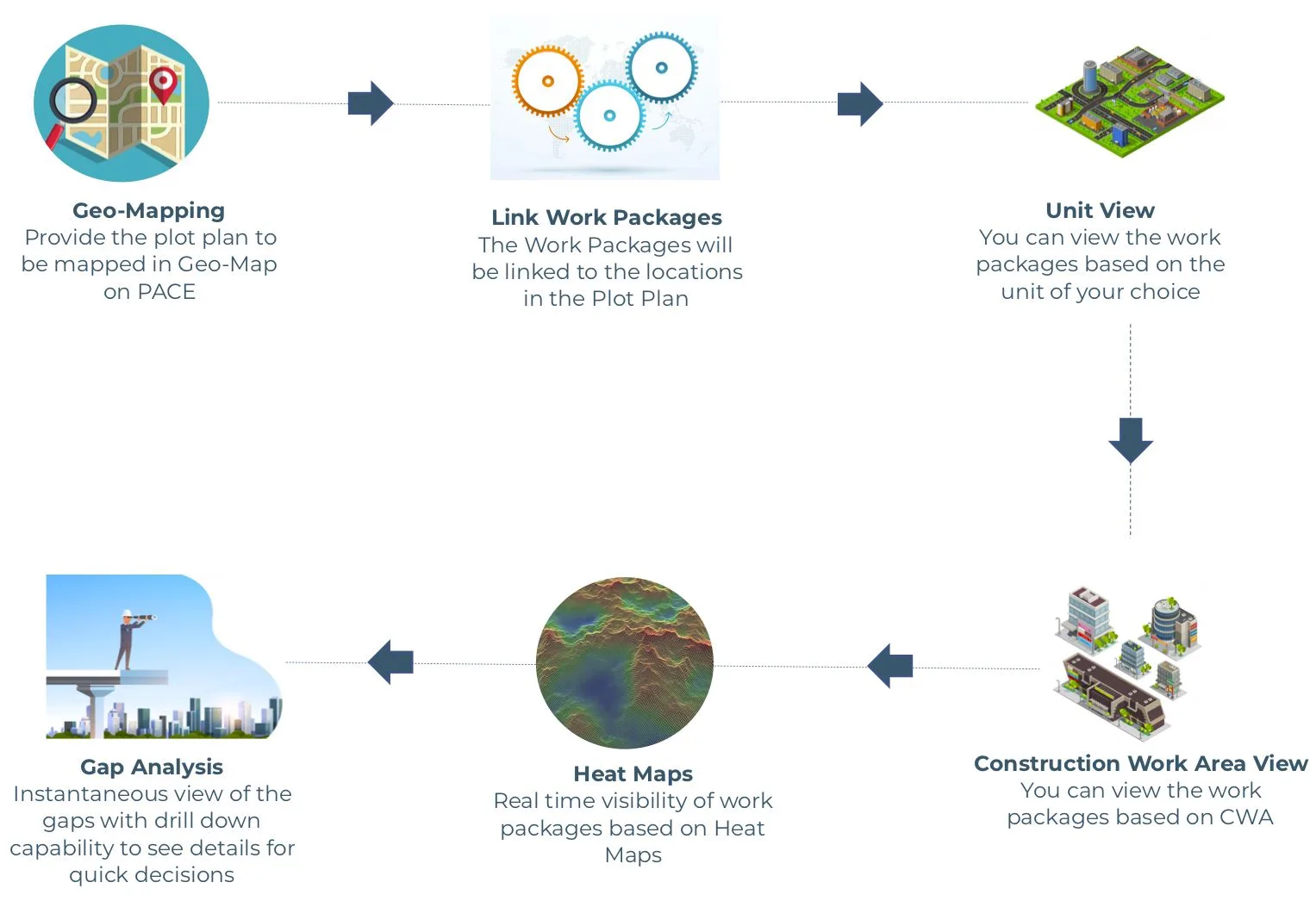
Steps for Geo Plot Analysis Module's Process:
Here are some of the module processes in Geo Plot Analysis like Plot Plan to be mapped in Geo plot, In LWP in Work packages will be linked to location, then you can view the packages based on unit and by using construction work packages you can view the package. Fifth, for real-time visibility of work we need Heat Maps. Finally is Gap Analysis which provides real-time visibility of gaps.


